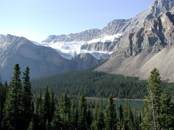
| Crow Foot Glacier |
 |
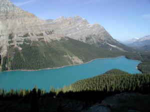 |
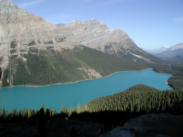
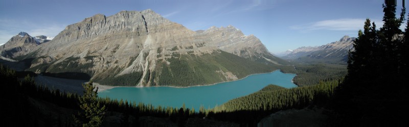
Peyto Lake. The beautiful blue color is
caused by the very fine dust and sand from the glacier.
It's so light weight that it floats in the water. All
the particles break the sunlight in that way that the
lake gets its blue color. |
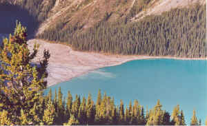
| Here you see the end of the
glacier where the ice melts and the dust and sand
particles float in the water. |
 |
 |
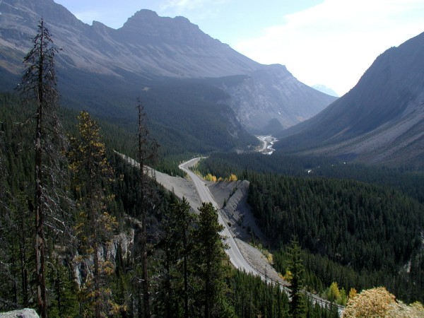
The Ice Field Parkway, which leads to
Jasper. |
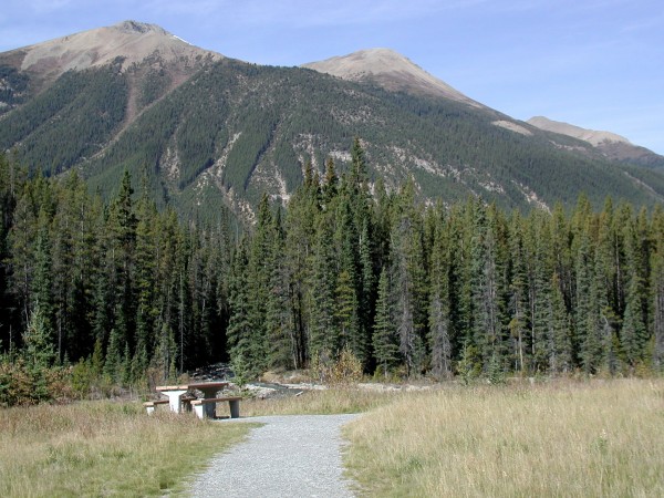
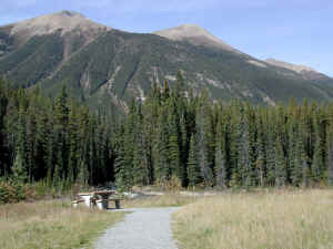
| Near the Icefield Parkway we
have a picknick instead of in a motorway
restaurant. |
 |
 |
From our picknick spot we can enjoy the nice
weather and nature. |
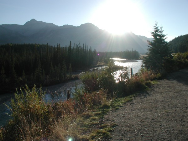
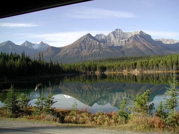
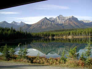
| The small lakes along the
Icefield Parkway reflect the landscape like a mirror
because there's no wind today. |
 |
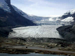 |
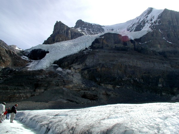
Here we arrive at the Columbia
Icefield, or better said: one glacier of the
Columbia Icefield: the Athabasca Glacier. We are going
to do a trip on a snow coach and drive on the glacier. |
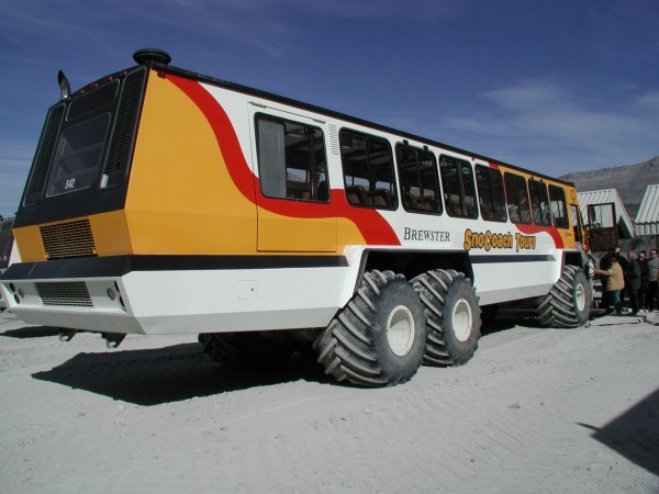
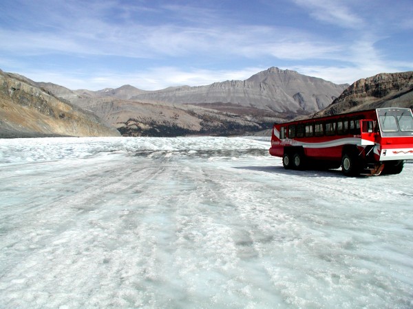
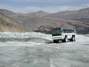
| Here's the snow coach we take.
This coach is capable of driving over snow and ice.
That's what the large tires are for. |
 |
 |
Here we go. |
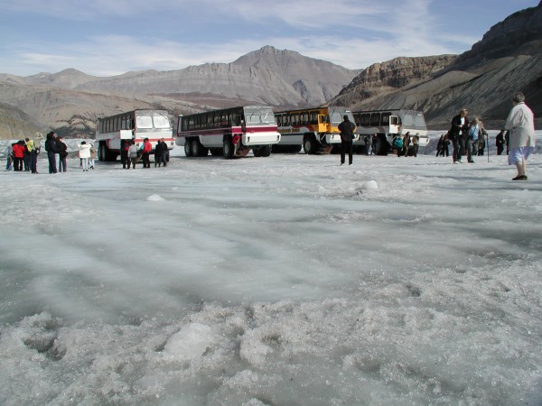
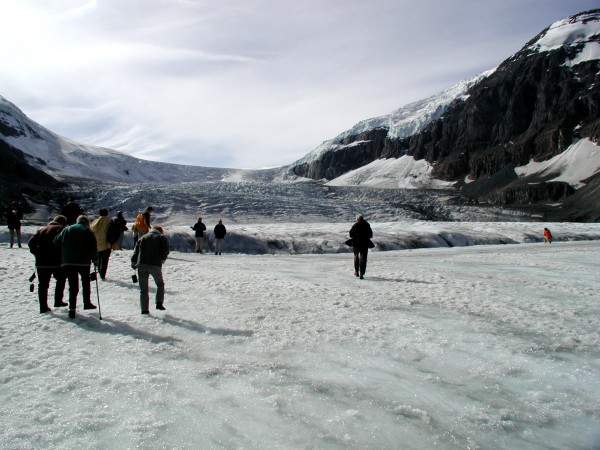
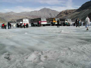
| We're not the only ones today,
but there's plenty of space. The size of the Columbia
Icefield is 325 square kilometres, one of the largest
accumulations of ice and snow south of the Arctic
Circle. We only see a tiny bit of it today. |
 |
 |
This glacier and the Columbia Icefield is a
remnant of the last Ice Age that ended only 10,000 years
ago. |
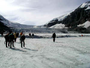
| It's only a small area where
we are allowed to walk because it's still a glacier.
That means that there are holes and gorges. If you fall
in one, they will find you years and years later at the
bottom of the glacier, where it melts. |
 |
 |
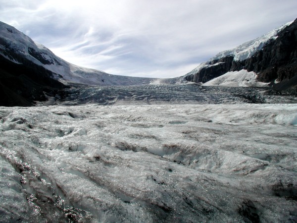
Behind the horizon there's the rest of the
Columbia Icefield. |
| This glacier and the icefield
form a gigantic frozen reservoir of fresh water. |
 |
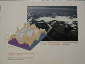 |
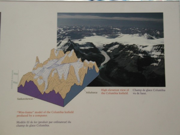
This is a information sign on which you can
see the complete Columbia Icefield. With the snow coach
we have been only on the toe of the long glacier you see
on the photo. It's hard to imagine how big the icefield
is. |
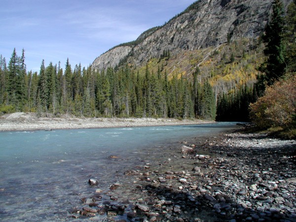
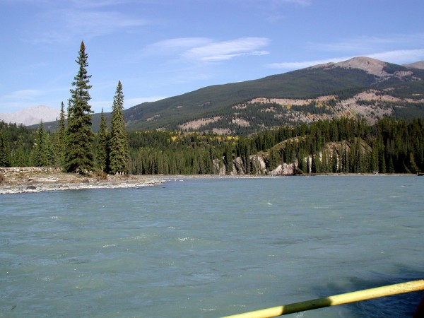
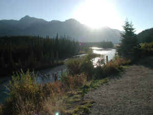
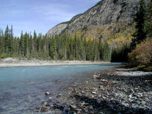
| The Athabasca River,
originating at the Athabasca Glacier, where we just have
been on the snow coach. |
 |
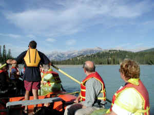 |
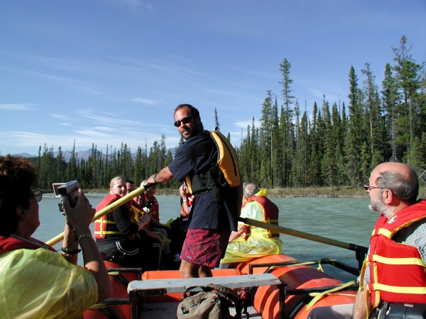
Here we go rafting. The water isn't wild, we
only got a wet behind. But it is a nice boat trip and
the weather is still good. |
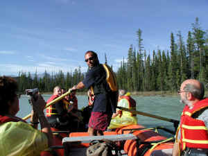
| This is our guide for this
rafting trip. |
 |
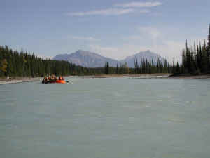 |
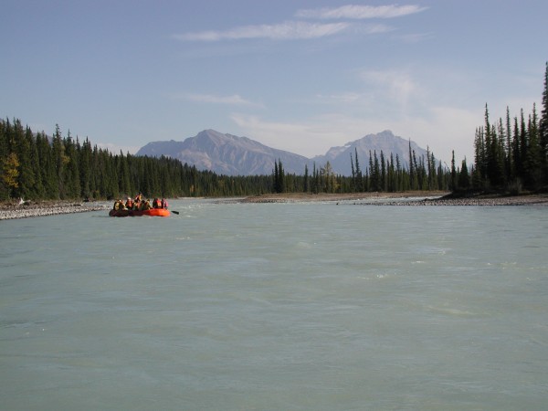
Our travel companions in the other raft. |
| One last picture of the
Athabasca River before we go to Jasper and to our hotel. |
 |
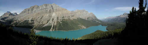
Panorama photo of Peyto Lake
|
|