Menu
Home
San Diego
Cabo San Lucas - Mexico
Acapulco - Mexico
Huatulco - Mexico
Puntarenas - Costa Rica
Panama Canal
Aruba
Ft. Lauderdale
The Ship
Life on board
Cruise FAQ
About/Info


website statistics

  Panama Canal Link to previous page of the travelogue Link to the home page of this travelogue Link to next page of the travelogue

One of the major attractions of this cruise was the Panama Canal. We were looking forward to the transit through the canal and it was great! It's very special to sail through a narrow canal that's man-made and to go through several of the largest locks in the world! With the maps and photos below we hope you get a bit of an impression of how we experienced the Panama Canal.
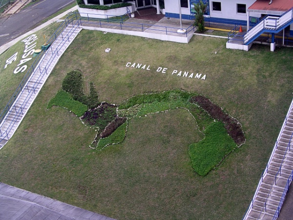
Page introduction photo
The Panama Canal connects the Pacific Ocean to the Atlantic Ocean (Caribbean Sea). The canal sort of cuts America in half: South America below the canal, the rest above.

The canal goes from Panama City to Colón.
Here you see a detailed map of the Panama Canal. The colored dots mark the most important places.
Very early in the morning (around 5.30am) we sailed into the Panama Canal, under the 'Bridge of the Americas', with a view on Panama City. At 6.00am, we were at the first set of locks, the Miraflores Locks. Everyone on the ship got up early today…
We're approaching the Miraflores Locks. Another ship, the container ship Majestic Maersk just enters the lock. We are supposed to sail into the lock on the left hand side. Two ships can be locked through at the same time, sailing in the same direction or in the opposite direction.
It's very crowded on every front deck. This is something you must see. Luckily the ship is large enough to give everyone a good view.
The first locomotive is already waiting for us to assist and tow us through the locks.
Depending on the ship's size, from 4 to 8 locomotives are assisting and towing a ship through the locks. Using strong steel cables, they keep the ship in position and prevent it from hitting the walls. The ship is also using its own engines for propulsion.
Now we're in the first part of the Miraflores Locks. The Majestic Maersk is next to us in the parallel lock-chamber.
The Control House of the Miraflores Locks, on the center wall of its higher chamber, from which the entire operation is directed. Every set of locks has its own Control House.
Now we've raised 8 metres (about 25 feet). The Control House is much more on our level now. We are ready for the second lock chamber.
The rack-railway for electric locomotives. Notice there is only very little space left between the ship and the lock chamber wall. Ships are designed and built to be able to pass through the Panama Canal.
We've passed the Miraflores locks with its two lock chambers that raised the ship 17 metres. Only a little distance away the second locks are there: the Pedro Miguel locks, with only one lock-chamber that raises us another 8 metres.
This is a graphic cross-section of the Panama Canal with its three sets of locks.
Here's a cross-section of one set of locks, like the Gatun locks. The water is pumped from the lake into the first lock chamber to raise the water level, and is released into the next lock chamber to lower the water level in the first one and raise the level in the second one. Ultimately the 197 million (!) liters of fresh water are flushed into the sea.
The two parallel lock chambers are also connected to each other. The water from one lock-chamber can be used for the other.
It's still very crowded on the upper deck. And it's getting hot and humid. We're ready to enter the Pedro Miguel locks.
A picture taken from the rear of the ship. We're in the Pedro Miguel locks now. Another container ship is ready to enter the parallel lock chamber. On the background you see the Miraflores locks.
Notice the double doors. If one breaks down, for example when a ship hits it, not much harm is done. The water is still blocked by the second door. This is a safety measure to prevent a disaster.
We have left the Pedro Miguel locks, now approaching the most narrow part of the Panama Canal and the Centennial Bridge
The Centennial Bridge (Puente Centenario).

Did you know that a full priority passage for a cruise ship like the Legend of the Seas costs about $150,000? So now you know why cruises that transit the Panama Canal are a bit more expensive than other cruises.
The bridge has a total span of 1,052 metres. The bridge is 80 metres high. The two towers are 184 metres high. It's a brand new bridge, completed in 2004. See for more information and photos here.
The smallest part of the Panama Canal: the Gaillard Cut. Very impressive to be sailing with such a large ship in such a narrow passage.
The Gaillard Cut is an excavated channel about eight miles long. It requires regular maintenance to maintain depth and width to permit passing ships. Here you see the leftovers of a rock that was blasted to pieces making room for the canal.
In the smallest parts of the Panama Canal, our ship is being assisted by a tug-boat.
The nature at the sides of the Panama Canal is very green and dense. It's a warm and humid climate here.

You can see the railway that also goes from Panama City to Colón and that follows the Panama Canal route mostly.
There's a continuous dredging program going on keep the Panama Canal deep enough. This is one of the dredges at work. The Panama Canal Authority (ACP) is constantly preparing, updating and executing long-term plans and programs for a variety of maintenance and improvement projects.
This is one of the ships we passed by and this one has an odd shape. Now we've left the narrow part of the canal and are on the Gatun Lake.
In the distance you can see the Gatun Dam, nearby the Gatun Locks. This dam prevents from flowing all the water from the lake and the canal into the Atlantic Ocean. There are a few more dams around the Panama Canal, like the Madden Dam and the Chagres Dam, which also help to maintain the level of the water at 85 feet above sea level. The Madden Dam also has an hydroelectric power plant.
Here, on Gatun Lake where we anchored, people on tugboats are trying to free one of the ships anchors from a piece of wood. This wood is blocking the anchor from being pulled up completely. Finally they succeeded, but we had a delay of almost two hours.
We're at the Gatun Locks. Boatmen on small rowing boats receive lines from the transiting vessels when they enter the locks. The lines are connected to the electrical locomotives so they can help towing the ship. Can anyone tell me why they use rowing boats for this purpose that don't even have simple engines? We haven't figured that out yet.
The cables are being connected to the locomotives.
Slowly we proceed through the Gatun Locks. A complete passage through the Panama Canal and all the lakes usually takes less than 24 hours for normal traffic and 7 to 8 hours for priority traffic such as passenger vessels, like our cruise ship. It took us more than 12 hours because we anchored in Gatun Lake (people were getting off the ship to do some excursions) and we had some additional delay because of the piece of wood in our anchor.
It still fits! There's less than two feet of space left. All of the lock chambers of the canal are 1000 feet long, 110 feet wide with a minimum depth of 41 feet.
In the lock chamber parallel to us lies an oil tanker. No smoking please…
Here you can see the container ship leaving the last lock chamber, so the water is at sea level there. The prior lock chamber has it's water level to the high position. So the difference between the two water levels is two times 28 feet = 56 feet (around 17 metres).
A closeup of one of the doors or gates. Here you can see the difference in water levels well.
We're in the last lock chamber. They open some hatches and all the water from this chamber is flowing to the lower side, so our water level is dropping until it's been leveled out. This happens with some force, as you can see here.
We have left the Gatun Locks and are at sea level again. Now you've got a good view on the Gatun locks and the differences in water levels.
There are some webcams aimed at the Miraflores Locks, the Centennial Bridge and the Gatun Locks. On the Internet you can see live images from ships passing these locations. This is one of the webcams. You can have a look yourself at this site.
At the Port of Cristobal, near Colón, we are docked and are able to do some shopping and get the chance to buy some 'Panama Canal' souvenirs. It's the end of an interesting day. Transiting the Panama Canal is very special.
Everyone on the ship received this certificate as proof for transiting the Panama Canal.

Link to previous page of the travelogue Link to the home page of this travelogue Link to next page of the travelogue